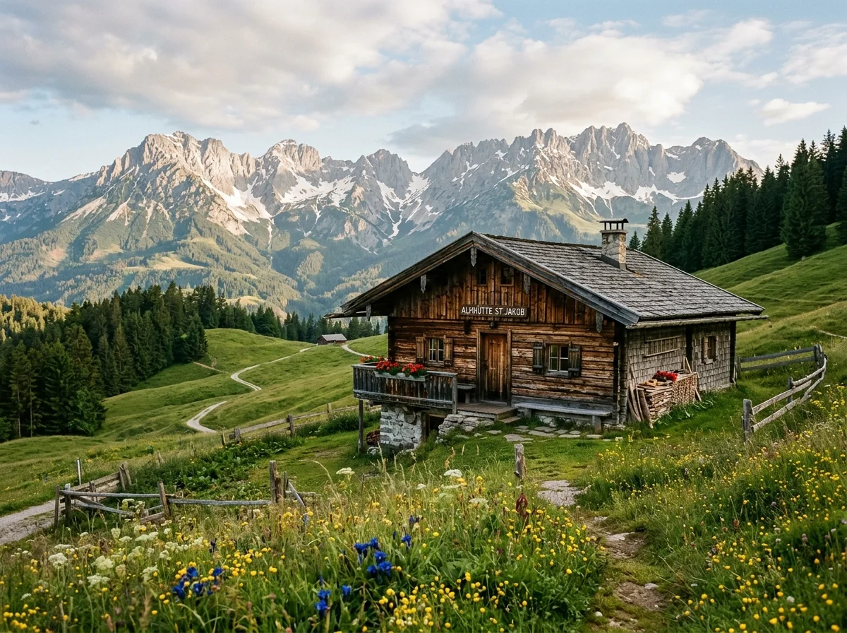
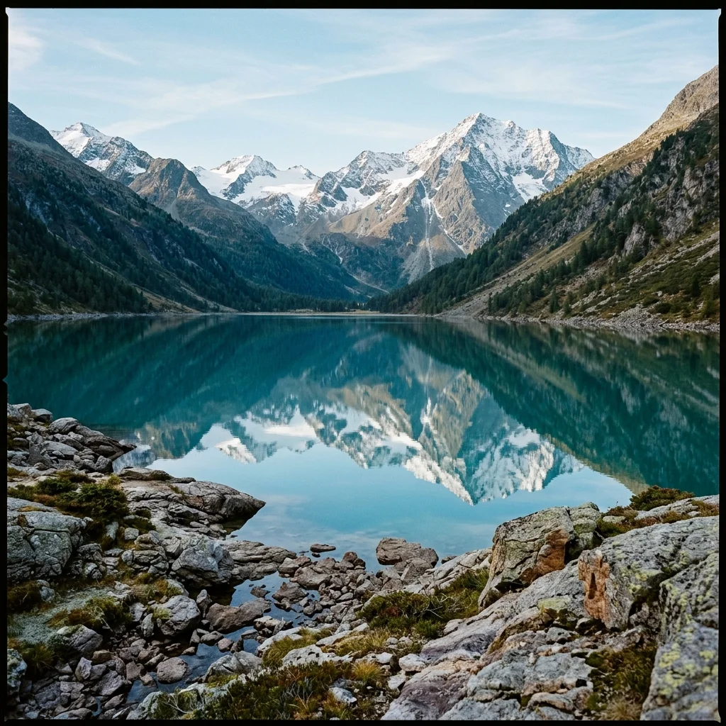
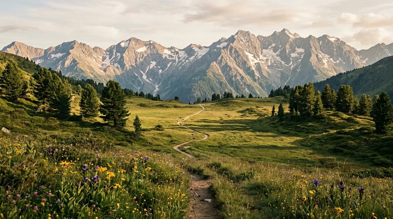
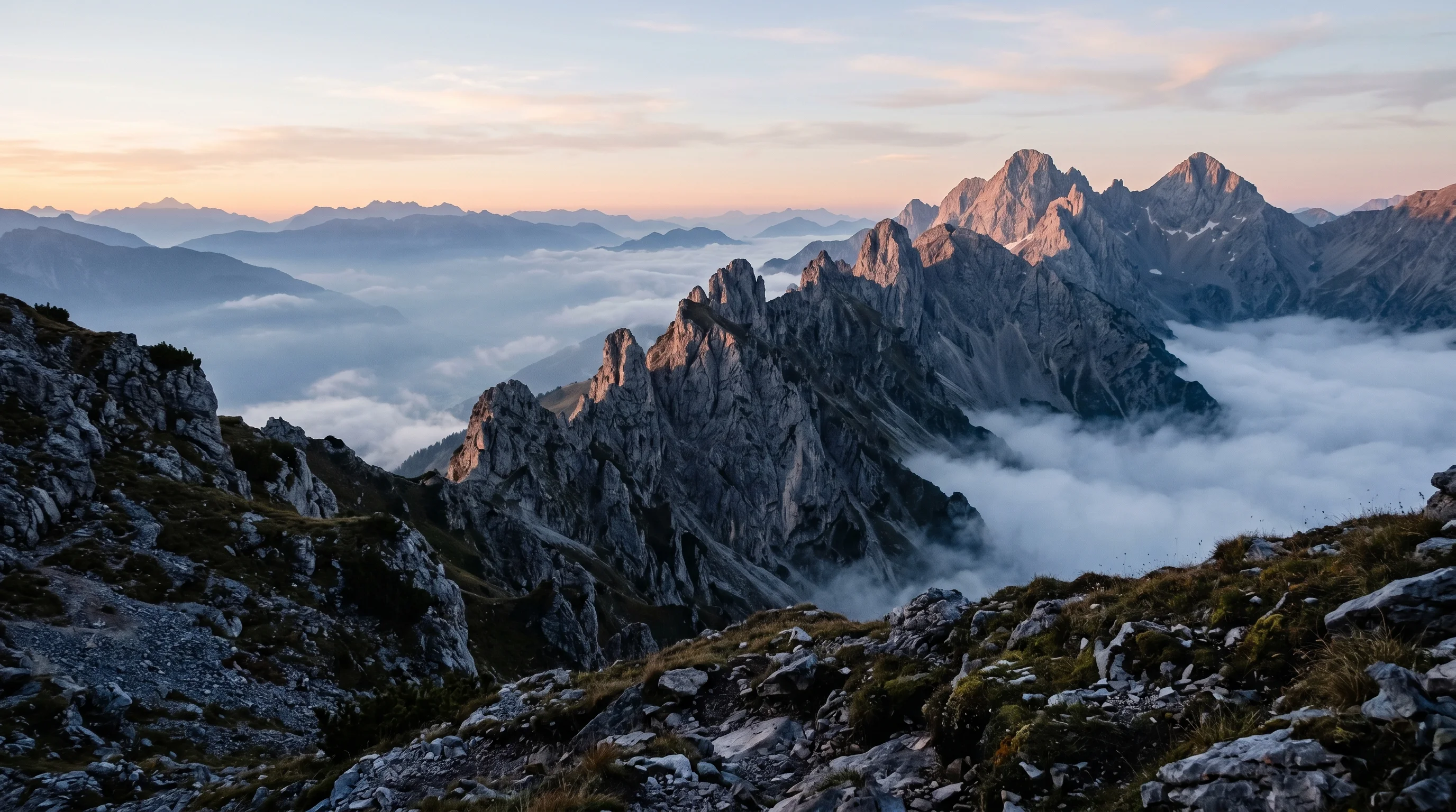
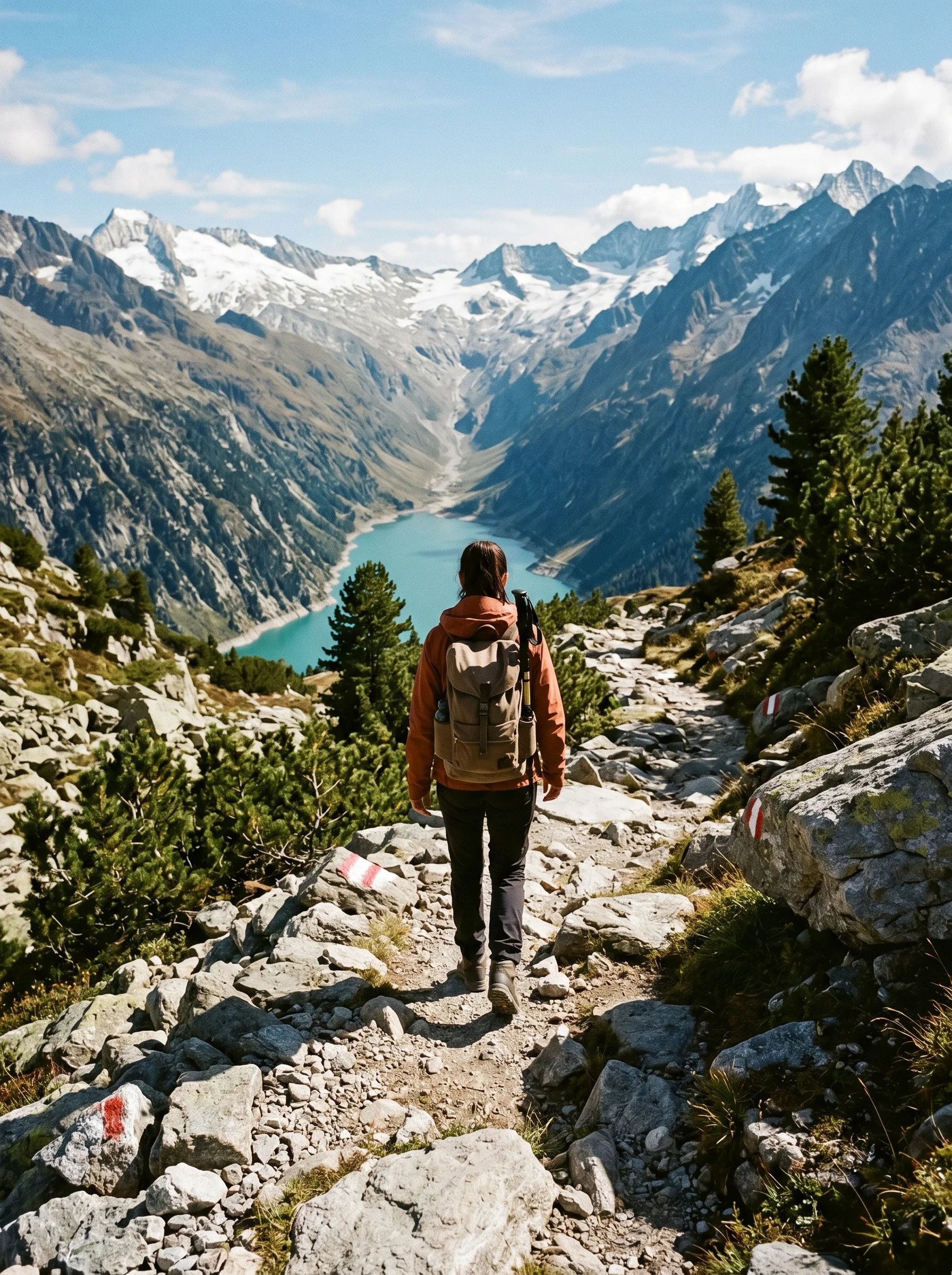
Kompass · Vol. I Open ridgelines · Today's conditions: fair
Stubai Alps ridge line at dawn
§ Prologue Est. on foot, since 2019

Explore
Tyrol,
step by step.

A slow-travel field guide to the Austrian Alps — curated ridgelines, hidden valleys and unrushed walks, all written from the trail, never the desk.

Elevation profile · sample day
0 km+1,140 m18 km
Scroll to begin
§ 01 — Classification

The four
ways of walking
Tyrol.

We classify every route by how it asks you to move — not just its distance. A gentle meadow loop is not a lesser hike than a ridge traverse; it is a different grammar of walking. Choose the one that matches your rhythm today.

01 — Easy walks 2–7 km · +50–300 m · 1–2 h · suitable for families 02 — Moderate hikes 7–15 km · +400–900 m · 3–6 h · baseline fitness required 03 — Alpine trekking 12–25 km · +900–1,800 m · 5–9 h · experience & gear required 04 — Long-distance routes 3–10 days · hut-to-hut · multi-stage · for the committed walker
Hiking gear flat lay: boots, map, compass, notebook
Plate I · The essentials, photographed flat
§ 04 — Preparation

What to
carry, what to leave.

A field-tested packing list, opinionated and deliberately short. The alpine rule stands: if you haven't used it on your last three walks, leave it at the door.

  • 01Broken-in leather bootsEssential
  • 02Wool base layer (x2)Essential
  • 03Hardshell jacketEssential
  • 04Topographic map 1:25,000Always
  • 05Compass · analogAlways
  • 061.5 L water / personEssential
  • 07Headlamp + spare cellsEssential
  • 08Small first-aid kitEssential
  • 09Emergency bivy / foilEssential
  • 10Pocket notebook + pencilOptional
  • 11A thermos of strong teaOptional
  • 12One book, no phoneOptional
The full gear guide  →
§ 05 — Before you go

An interview
with the trail.

We answer the questions readers keep sending us, in the order they ask them. If yours is missing, write — we read them all.

Q / 01

When is the best season to walk Tyrol?

Mid-June through late September for high alpine routes. May and October belong to the valleys and the shoulder-season quiet — our favourite months, honestly.

Q / 02

Are the routes marked well enough to walk alone?

Yes. Austrian alpine signage is thorough and colour-coded (yellow, red, blue). On ridgelines above 2,500 m, bring a map anyway and tell someone your plan.

Q / 03

Can a complete beginner start here?

Absolutely. Start in the Easy walks section. Three kilometres around a lake is a real hike, and a fine way to meet the mountains.

Q / 04

Is hiking in the Alps expensive?

Less than you'd think. Public transport reaches almost every trailhead, and a hut dinner with half-board rarely runs over €60. The mountains themselves are free.

Q / 05

Do I need a guide?

For graded alpine routes (ice, via ferrata, glacier crossings) — yes. For everything else, a good map, honest self-assessment, and a weather check will do.

Q / 06

What if I only have one day in Innsbruck?

Take the Nordkette cable car up, walk the Goetheweg along the ridge, stop for a coffee at the Pfeishütte, walk back. It will recalibrate you.

Long-distance trail through Stubai meadow
§ Epilogue

“The mountains are calling,
and I must walk.

— after John Muir, revised for the unhurried